Imagine a map of the seafloor where each pixel represents an area the size of a dinner plate, revealing geological structures invisible to traditional methods. This level of detail is no longer science fiction, but the reality brought by Autonomous Underwater Vehicles (AUVs) that are literally redefining our understanding of the oceans.
For decades, ocean exploration has relied on technologies that, while revolutionary for their time, had fundamental limitations in terms of resolution, coverage, and autonomy. Today, we are witnessing a silent but profound transition towards systems capable of operating without direct human intervention, collecting data with a precision previously unattainable. This article analyzes this technological evolution by methodically comparing traditional and modern approaches, and explores how this transformation impacts scientific research and our ability to map the last unknown territories of our planet.
The Foundations: Sonar and Its Historical Limitations
Traditional sonar systems, deployed from research vessels, constituted for decades the backbone of bathymetric mapping. These systems emit acoustic waves that bounce off the seafloor, allowing the creation of basic topographic models. According to Frontiers in Marine Science, these conventional acoustic methods enabled the first systematic maps of the ocean floor, but they presented significant constraints: limited resolution, spatial coverage restricted by the vessel's trajectory, and operational difficulties in complex environments.
A concrete example illustrates these limitations: mapping a deep-sea hydrothermal field traditionally required ships following transect lines spaced hundreds of meters apart, leaving unmapped zones between these lines where important structures could go unnoticed. The resolution of the data was often insufficient to identify small-scale features such as individual hydrothermal vents or fragile coral colonies.
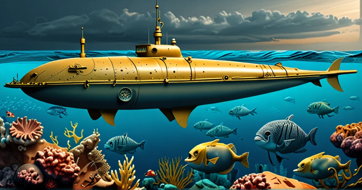
The AUV Revolution: Precision, Autonomy, and Discoveries
Autonomous Underwater Vehicles (AUVs) represent a quantum leap in exploration capabilities. Unlike traditional systems, these underwater robots operate without a physical link to a mother ship, navigating according to preprogrammed or adaptive trajectories. ScienceDirect documents how the high-resolution data collected by AUVs has led to significant discoveries in marine geoscience, revealing geological and biological structures that had remained invisible to previous methods.
The NOAA clearly explains the fundamental distinction: while Remotely Operated Vehicles (ROVs) remain connected by a cable to a ship and are controlled by pilots on board, AUVs are truly autonomous underwater robots that execute missions without direct human intervention. This autonomy enables operations in environments where the presence of a cable would be problematic, such as under ice or in complex wrecks.
Comparative Advantages of AUVs
- Exceptional Resolution: AUVs can fly just a few meters from the seafloor, collecting data with centimeter resolution. A study cited by ScienceDirect shows that this capability has enabled the mapping of details such as individual tectonic fissures and microbial structures.
- Systematic Coverage: Unlike the linear transects of ships, AUVs can perform lawnmower search patterns, eliminating unmapped areas and ensuring complete coverage of the study area.
- Environmental Adaptability: AUV swarms, mentioned in Frontiers in Marine Science, allow coordinated exploration of vast areas with increased redundancy and flexibility compared to traditional methods.
System Integration: An Emerging Hybrid Approach
The true power of modern technologies lies in their integration. The IHO documents how Uncrewed Surface Vehicles (USVs) are facilitating a new era of global ocean exploration by serving as launch and recovery platforms for AUVs. This combination creates a closed-loop exploration system where the surface vehicle manages communications and logistics while the AUVs perform detailed mapping work.
A practical example of this integration is the mapping project of the southern Ionian Sea, where an autonomous underwater vehicle was integrated with an uncrewed surface vessel. This configuration enabled extended missions with minimal human intervention, optimizing both data collection and operational efficiency.
Concrete Applications: From Fundamental Research to Conservation
The implications of this technological transition extend far beyond pure mapping. A systematic review by ScienceDirect on robotic efficiency in coral reef monitoring demonstrates how AUVs are revolutionizing marine ecology. These vehicles can perform repetitive surveys of sensitive sites without disturbing ecosystems, providing crucial temporal data for understanding the impacts of climate change.
In the field of underwater navigation, the progress is equally significant. Preprints.org describes how the integration of deep learning improves Simultaneous Localization and Mapping (SLAM) navigation in AUVs compared to conventional methods. This advancement enables increased autonomy in complex environments where GPS signals are unavailable.
Persistent Challenges and Future Perspectives
Despite these advances, technical challenges remain. arXiv highlights that deep learning based on sonar in underwater robotics, while promising, must still overcome obstacles related to the quality of acoustic data and the complexity of underwater environments. Underwater communication remains limited compared to aerial environments, and the energy autonomy of AUVs imposes constraints on mission duration.
The comparative analysis by Gauthmath between ocean study methods clearly identifies the advantages of modern techniques like satellite remote sensing and AUVs, but also notes that traditional methods retain their utility for certain large-scale applications where extreme resolution is not necessary.
Conclusion: Towards Complete Ocean Mapping
The comparison between traditional and modern ocean exploration methods reveals less a substitution than a complementary evolution. Conventional sonar systems continue to provide bathymetric data on a global scale, while AUVs bring the precision needed to understand fine-scale processes. This combination creates a hierarchical approach where satellite data and wide-band acoustic surveys identify areas of interest, which AUVs then explore with surgical precision.
The scientific impact of this transition is already tangible. The discoveries documented by ScienceDirect, ranging from new geological structures to little-known ecosystems, testify to the transformative potential of autonomous technologies. While only 20% of the world's seafloor has been mapped with modern resolution, the advent of AUV swarms and integrated systems promises to significantly accelerate this exploration.
For digital professionals and scientists, this evolution represents both a challenge and an opportunity. The challenge of developing algorithms capable of processing the massive volumes of data generated by these high-resolution systems. The opportunity to participate in mapping the last unexplored territories of our planet, with implications for resource management, understanding climate change, and preserving marine biodiversity.
To Go Further
- ScienceDirect - Overview of AUV data in marine geoscience and significant discoveries
- Frontiers in Marine Science - Comprehensive review of modern bathymetry and advantages of AUV swarms
- ScienceDirect - Systematic review of robotic efficiency in coral reef monitoring
- NOAA Ocean Explorer - Explanation of ocean exploration technologies and ROV/AUV distinction
- IHO - Uncrewed surface systems facilitating a new era of exploration
- Gauthmath - Comparative analysis of ocean study methods
- Preprints - Advances in underwater navigation with deep learning integration
- arXiv - Overview of deep learning based on sonar in underwater robotics